Sacramento Transit - Part 1 - Exploration
Written by sideprojects in Posts on Sun 07 April 2019. Tags: data analysis, GIS, python, cities, geopandas,
Background
As cities become increasingly concerned about traffic, infrstructure maintainence, and the environment; increased use of public transit could be way to address several of these challenges at once. I've become interested in understanding how cities can address these challenges, and began reading about urban planning a few years ago. Through reading what some long-time urban planners have to say, I'm beginning to see that if increasing public transit can help alleviate traffic, maintenance and environmental issues, increasing ridership is a multi-dimensional challenge in its own right. The way many places are organized, daily and individual car use is practically required due to the way that most activites and ammenities are spread over miles and metro areas and frequently aren't connected by transit networks.
Python Mapping libraries Introduction
Written by sideprojects in Notes on Sat 16 March 2019. Tags: data analysis, GIS, python, cities,
Intro Tour of Python Mapping Libraries
There are several libraries for making spatial visualizations in python. This post creates similar maps of baltimore neighborhoods and grocery stores using several libraries:
Static
- geopandas default mapping (matplotlib)
Interactive:
- Altair (Vega)
- Folium (Leaflet)
Each sections starts from a geopandas dataframes, and has subsections walking through:
- Display Shape
- Plot a Choropleth
Bus Mapping with GeoPandas
Written by sideprojects in Posts on Fri 20 January 2017. Tags: data analysis, GIS, python, cities,
Bus Mapping and Basic GIS with GeoPandas
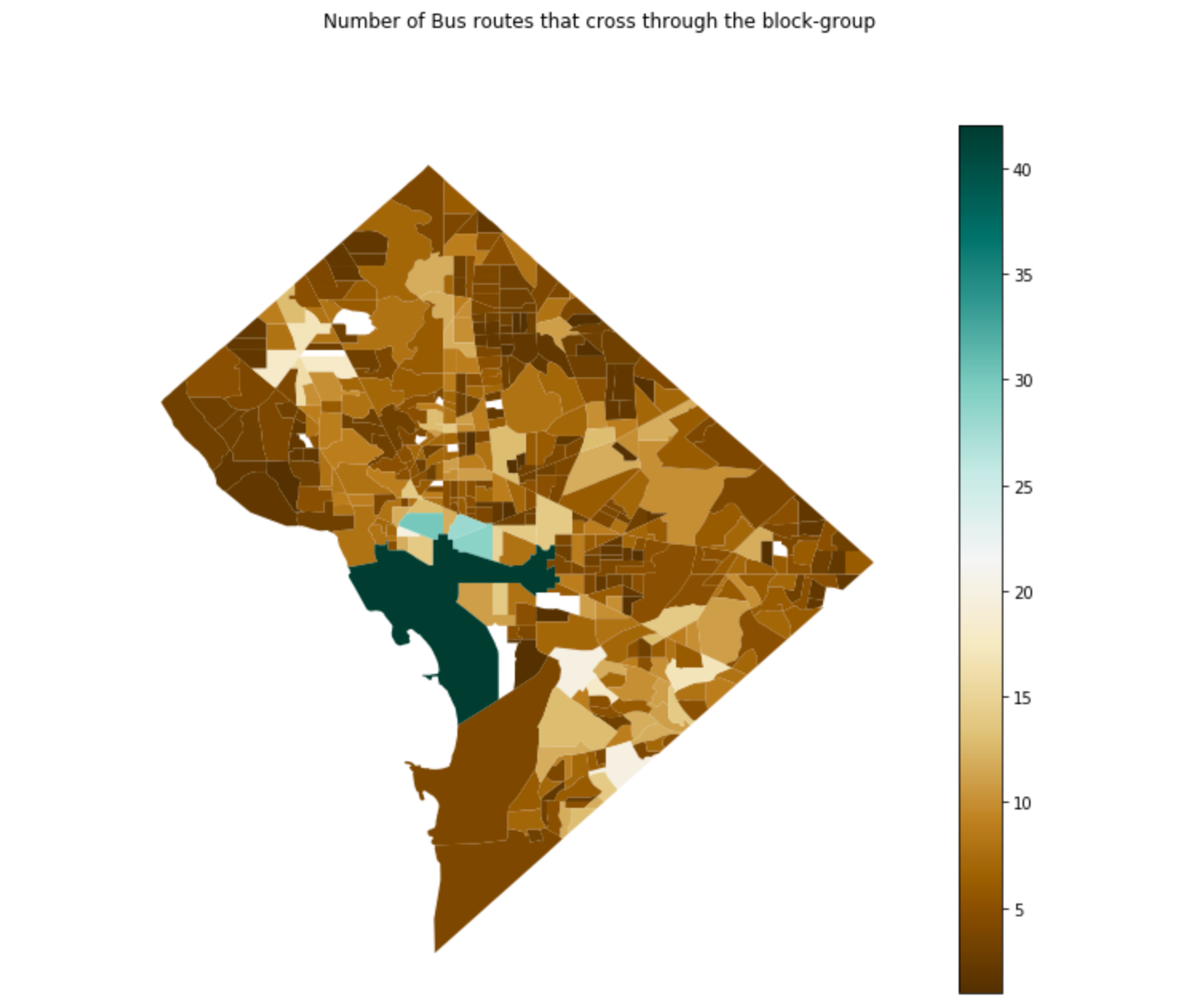
 GeoPandas wraps several of Python GIS tools into a set of convenient functions for storing and operating on shapefiles as DataFrames, and makes working with shapefiles look similar to working with Pandas. In this demo, I'm going to demonstrate some of the basic geopandas functionality for getting started with working with shapefiles, and compute some summary statistics from the data.
Presentation on Regular Expressions
Written by sideprojects in Notes on Thu 12 May 2016. Tags: regex, slides,
I created this presentation to introduce some colleagues to regular expressions.
Pandas Multi-index notes
Written by sideprojects in Notes on Sat 07 May 2016. Tags: data analysis, pandas,
Learning to use git effectively
Written by sideprojects in Notes on Fri 18 March 2016. Tags: links, learning, git,
I've used git & github for a while now, but there's always more to learn. These are the best resources that I've found over time for learning and becoming effective with git.
List of Datasources to Explore
Written by sideprojects in Notes on Sat 30 January 2016. Tags: links, datasources,
This is a list of public datasources that I've encountered over time, and think could be interesting to explore.
Roundup of Links (Part 1)
Written by sideprojects in Notes on Mon 18 January 2016. Tags: links, books,
This is a list of links and resources that I reference on a regular basis.
Presentation on Version Control
Written by sideprojects in Notes on Sun 10 January 2016. Tags: git, slides,
I created this presentation to encourage data analysts to consider using version control. I expalin the motivation for it, some of the terminology that you commonly hear, and share some tutorials.
Tips for Using Hive on EMR
Written by sideprojects in Notes on Sat 09 January 2016. Tags: hive, aws,
These are some notes on how to bring data from S3 into an Amazon Elastic MapReduce (EMR) cluster. Also some notes on setting up partitioned tables.
